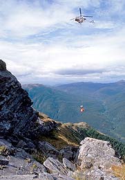
The Mining Challenges
Mining geophysicists are versatile. They become experienced in all aspects of data collection and interpretation, in working with colleagues and in supervising people and projects. They review both technical and financial data to determine whether a project is a worthwhile investment. These challenges plus the chance to do field work outdoors is what frequently draws people to the profession.
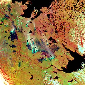
Satellite Imagery
A new trend in geophysics is the increasing use of the images taken by satellite systems for mapping the earth and its resources. Geophysicists are becoming more involved in the manipulation and incorporation of satellite data for use in their own interpretations.
The petroleum geophysicist uses satellite pictures to identify surface conditions prior to conducting surveys while the mining and environmental geophysicists use the images to map the earth, its resources and environmental conditions.