Biography
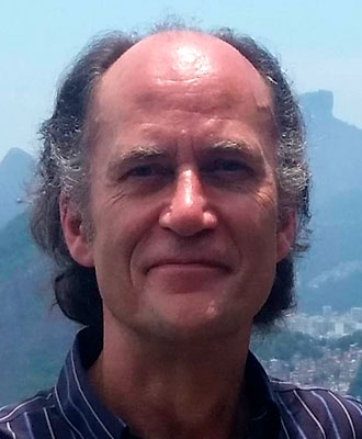
Ian F. Jones is a Geophysical Advisor based in ION’s UK data processing centre near London.
He holds a PhD in Geophysical signals processing, an MSc in seismology, and a joint-honours BSc in Physics with Geology, and joined ION GXT in 2000 after spending 15 years in R&D with CGG in London and Paris. His areas of interest include velocity model building and seismic imaging, and he regularly teaches the EAGE/SEG continuing education course ‘An Introduction to Migration & Velocity Model Building’.
He is an associate editor for the journals ‘Geophysics’ and ‘Geophysical Prospecting’, serves on the SEG’s editorial and the EAGE’s technical programme committees, and serves as an external lecturer at Imperial College London and the University of Leeds.
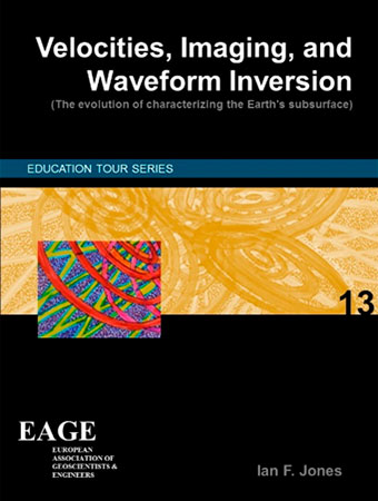
In 2003 he was awarded the EAGE’s Anstey Medal for ‘contributions to the depth imaging literature’, in 2012 was made the SEG’s Honorary Lecturer for Europe in recognition of his ‘contributions to advancing the science and technology of geophysics’, conducted the international 2018/2019 EAGE Education Tour, the topic being ‘Velocities, Imaging, and Waveform Inversion’, and awarded Honorary Life Membership by the EAGE in 2018.
Ian has published four books, contributed the chapter on model building to the SEG online encyclopaedia, and published over 50 articles on signals processing and imaging.
Description
This course is designed for practising geoscientists and geoscience students who desire a better understanding of the principles and limitations of both current and emerging technologies involved in subsurface parameter estimation and imaging. The material is designed to help readers better understand how contemporary velocity estimation methods work, and what approximations are involved in obtaining computationally tractable solutions. The evolution of the industry's approaches to building earth models with ray tomography and full waveform inversion is covered, as are some of the emerging possibilities for replacing imaging techniques with direct subsurface parameter inversion methods.
The approach will be mostly non-mathematical, concentrating on an intuitive understanding of the principles, demonstrating them via case histories: the associated course book is divided into the following sections:
- dealing with the near surface
- the effects of strong vertical velocity contrasts
- the effects of strong lateral velocity contrasts
- waves versus rays
- model-building using ray methods (tomography)
- model-building using wavefield extrapolation methods (FWI)
- data examples and comparisons
- future developments
The first three sections outline the nature of the problems we face when building images representing subsurface impedance contrasts, and the next three deal with the technology we deploy to address the problems. In addition, included are three appendices to outline: the historical development of model building; anisotropy; and pre-processing considerations for complex imaging. Several of the individual chapters build on a series of recent tutorial papers published in First Break.
However, given the time restrictions of a 1-day course, not all of the course book’s contents can be covered in the course itself.
Intended Audience
Entry level
Prerequisites (Knowledge/Experience/Education Required)
The course is designed to be followed by anyone with a broad geoscience background: no specific detailed foreknowledge is required, although a familiarity with geophysical terminology will be useful.
Learner Outcomes
Upon completion of this course, the participants should be able to:
- Describe how migration works, in terms of the underlying physics and the associated approximations involved
- Classify model building and migration schemes in terms of the theory on which they are based (waves versus rays)
- Decide which model building scheme are appropriate for imaging a given geological environment
- Characterize the limitations of model building and migration schemes, in terms of imaging artifacts
- Differentiate between the current state-of-the art and future imaging and parameter estimation technologies


