Abstract
The concepts of geomatics engineering, an emerging key information technology of the 21st Century which deals with the acquisition, modelling, analysis and management of geospatial data which are used for a variety of applications, including exploration geophysics, are first reviewed. The fundamental role of positioning in georeferencing data is described. GPS has emerged as the most powerful technology to fulfil this role. The status, advantages, performance and limitations of GPS are discussed. Numerous examples of applications are reviewed, including applications in geophysical exploration such as land and marine seismic surveys, and airborne surveys.
Augmentation of GPS with external devices and systems to enhance availability and accuracy performance under conditions such as signal masking is described. Some of the key components of the GPS modernization plan being initiated by the U.S. Government, which will further improve performance in the decade ahead, are reviewed. The emergence of the completing/complementary European GALILEO system and its potential impact on users is discussed.
Biography
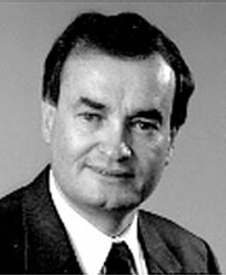
Dr. Gérard Lachapelle has been involved with satellite and ground-based navigation systems since 1980. Following five years of geodetic research at the Geodetic Survey of Canada, Ottawa, and eight years of GPS development at Shell Canada and Nortech Surveys (Canada) Inc, Calgary, he joined the Department of Geomatics Engineering, the University of Calgary, as a Professor in 1988. He has been Head of the Department since 1995. He has developed numerous precise DGPS positioning methods and has co-authored several related GPS software packages and numerous papers. He has received two dozens awards for his contributions, including the Johannes Kepler Award of the U.S. Institute of Navigation and the Alouette Award of the Canadian Aeronautics and Space Institute. He was awarded a Honorary Professorship from the the University of Electronic Science and Technology of China, one of China's original 25 key universities, in 1999. He holds degrees in surveying and geodesy from Laval University (1971), the University of Oxford, U.K. (1972), the University of Helsinki, Finland (1973), and the Technical University at Graz, Austria (1975). He is a registered engineer in the Province of Alberta and a Canada Lands Surveyor. He is a past President of the Canadian Institute of Geomatics, past President of the Association of Canada Lands Surveyors, past Chair of the Canadian Navigation Society (CASI), Officer of the (U.S.) Institute of Navigation and a former Third Vice President of the International Association of Geodesy.


