Abstract
After a decade of historic growth, wind power is now the most used renewable energy source in the US. Annual wind generation totaled 300 million (MWh) in 2019, exceeding hydroelectric generation by 26 million. The renewable energy sectors are surging and are predicted to be nearly 40% of the US energy market within the next three decades.
Currently, the US has only a single working offshore wind farm (Block Island), but a $70 billion market is forecast with the potential to generate 2000 GW per year and nearly double the nation’s current electrical use.
An explosion of offshore leasing for wind farms on the eastern seaboard has stretched the limits of US based offshore survey companies, requiring operators to reach across the Atlantic to Europe for vessels and in some cases, qualified personnel. Current proposed wind farm leases lie on the shallow Atlantic shelf in water depths between 30 and 60 meters, but floating offshore windfarms are already being proposed for deeper water.
The current subsurface survey approach utilizes tried and true 2D site investigation methods that were developed in the 1970’s. The purpose of this talk is to highlight potential new survey approaches and demonstrate how their application may increase efficiency, reduce uncertainty, and eliminate delays encountered during the development of a subsurface engineering ground model.
Biography
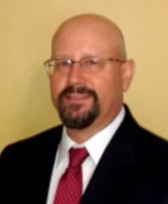
Bruce Samuel, MSc., P.G. Bruce is a principal engineering geoscientist and project manager at RPS with over 20 years’ experience in the marine survey, offshore wind, oil & gas, and telecommunication industries as a Geohazards and Site Investigation Principal. Bruce oversees projects for public and private stakeholders related to renewable energy, regulatory bodies, and oil and gas. He provides expertise on tasks related to desktop studies, cable burial risk assessment, survey planning and tendering, survey oversight and offshore client representation, geophysical data analysis, mapping and reporting, geotechnical investigation planning, and geophysical / geotechnical integration for the formulation of ground models, HAZID, formulation of risk register and risk assessment, including suitability analysis.
Bruce’s recent relevant projects include ground model formulation for offshore wind projects; offshore geotechnical client representation for offshore wind projects (Ørsted, Equinor, Vineyard Wind); infrastructure favorability mapping and ground modeling for deepwater projects; integrated sequence stratigraphic assessments for well, pipeline, and cable route design (DTS); and BOEM suitability analysis studies for floating offshore wind. Throughout his career, Bruce has worked on numerous studies for the siting of wind turbine generators, cables, pipelines, and other infrastructure in both shallow and deep water.


