Abstract
On September 4, 2010, an earthquake struck the Christchurch region in New Zealand. The Mw 7.1 quake was centered about 40 km west of the city of Christchurch and caused significant damage but no loss of life. A key manifestation of the earthquake was a fault (Greendale Fault) that ruptured to the ground surface with a maximum dextral displacement of 5.1 m and a vertical displacement of 1.5 m, upthrown to the south. On February 22, 2011, a Mw 6.2 aftershock struck with a shallow hypocenter very close to Christchurch. This earthquake resulted in the loss of 182 lives and devastating damage (|$23B) to the city infrastructure. Since September, 2010, the region has experienced over 10,500 aftershocks, with 42 of these being greater than 5M.
Approximately 45 line-km of high-fold reflection seismic data were recorded in and around Christchurch following the February 22, 2011 aftershock. The goal of the seismic program was to map previously unknown shallow faults in and around the city for hazard assessment and to assist in the post-earthquake recovery effort. Reflection seismic data were collected along six 2D lines, two of which were within the Christchurch metropolitan area and four were in rural areas west of the city. Recording conditions were challenging within the city, but good quality images were obtained along all of the seismic lines, with events interpretable to a depth of approximately 1.5 km. Numerous faults were imaged along the lines and these were interpreted in two groups - older faults that showed clear offsets in deep (> 1 km) reflections and younger faults that showed displacement in shallow reflections. Some faults in the latter group were interpreted to be directly associated with hypocentres of the earthquake and aftershocks.
Biography
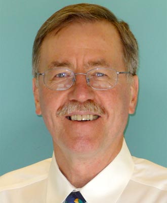
Don Lawton is a Professor of Geophysics and Chair in Exploration Geophysics in the Department of Geoscience at the University of Calgary. His research interests include acquisition, processing and interpretation of multicomponent seismic data, seismic anisotropy, integrated geophysical and geological studies in complex geological settings, and geological storage of CO2. He is an Associate Director of the Consortium for Research in Elastic Wave Exploration Seismology (CREWES) and is Theme Lead in Secure Carbon Storage for Carbon Management Canada, a Network of Centres of Excellence. In 2011 he led a team from the University of Calgary and CREWES to New Zealand for seismic imaging below the City of Christchurch following a devastating earthquake there. He is a past Editor of the Canadian Journal of Exploration Geophysics, and was a recipient of a Meritorious Service Award from the Canadian Society of Exploration Geophysicists (CSEG) in 1996 and the CSEG Medal in 2000. He is a member of SEG, AAPG, EAGE, CSEG, CSPG, ASEG, and APEGA.


