To attend, please RSVP to epp@cseg.ca.
Unless we have exceeded the allowable number of people for the auditorium, we will not be replying to your email.
LunchBox Geophysics is free! Simply bring your own lunch (refreshments provided) and enjoy.
Abstract
Structural information is the most important content of seismic images. I introduce a numerical algorithm for spreading information in 3-D volumes according to the local structure of seismic events. The algorithm consists of two steps. First, local, spatially-variable slopes of seismic events are estimated (inline and crossline in 3-D) by the plane-wave-destruction method. Next, a seed trace is inserted in the volume, and the information contained in that trace is spread inside the volume, thus automatically "painting" the data space. Immediate applications of this technique include automatic horizon picking and flattening in applications to both prestack and post-stack seismic data. Synthetic and field data tests demonstrate the effectiveness of predictive painting.
Biography
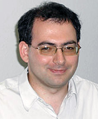
Sergey Fomel has been working at the Bureau of Economic Geology since 2002 and currently has an Associate Professor appointment, jointly with the Department of Geological Sciences. He received a Ph.D. in Geophysics from Stanford University in 2001 and worked previously at the Russian Institute of Geophysics, Schlumberger Geco-Prakla, and the Lawrence Berkeley National Laboratory. Sergey received the J. Clarence Karcher Award from the Society of Exploration Geophysicists (SEG) in 2001 and the Best Poster Presentation Award from SEG in 2007. He also shared the Honorable Mention Award from SEG with Paul Sava in 2004 for their Geophysics paper "Angle-domain common-image gathers by wavefield continuation methods" and the Lorand Eotvos Award from the European Association of Geoscientists and Engineers (EAGE) with Evgeny Landa and Tijmen-Jan Moser in 2007 for their Geophysical Prospecting paper "Path-integral seismic imaging". Sergey serves as an Associate Editor of Geophysics and devotes part of his time to developing "Madagascar", an open-source software package for geophysical data analysis.


